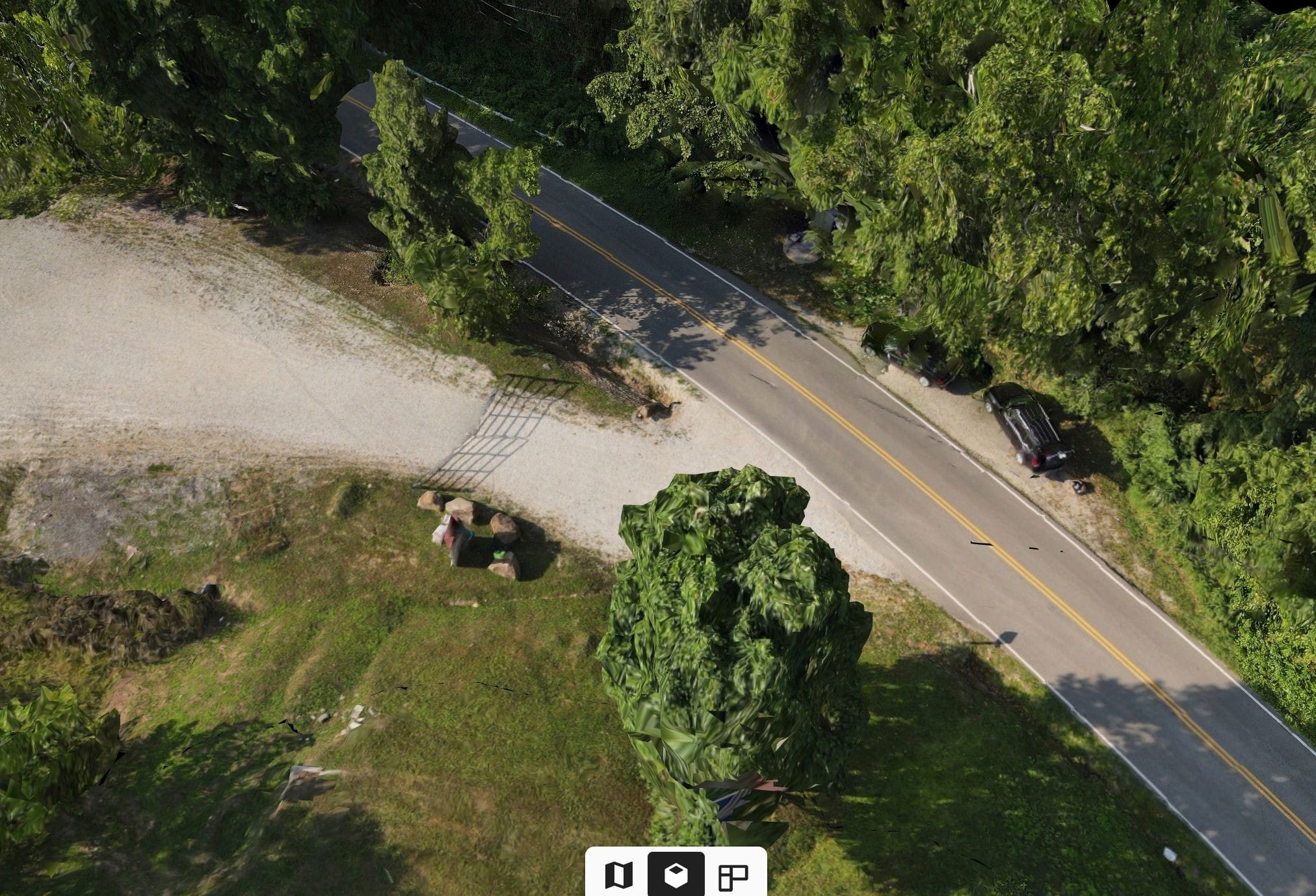
Land Aerial Surveys
UAV Aerial Land Survey
We utilize the latest in drone technology to assist in creating an Land Survey that will help in identifying areas of concern. From Elevation issues to Environmental Issues, the drone survey will help in land use planning.